
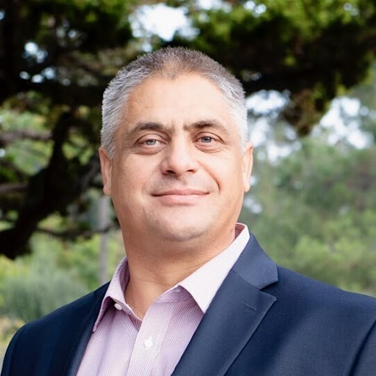
With 25+ years of experience in enterprise architecture and integration, Gabriel has redefined GIS as a business-critical platform. Since founding Arini Geographics in 2013, he has led initiatives that transformed systems like Santa Clara’s GIS into centralized programs that improve services, align strategies, and reduce costs. Gabriel combines technical depth with strategic vision, helping organizations use GIS not just for mapping, but as a foundation for collaboration, efficiency, and long-term growth.
Founder & CEO
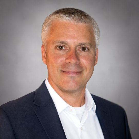
Mike is an accomplished business development and account management executive with more than 15 years of experience in strategic account management, enterprise solutions, and organizational growth. His career includes leadership roles with Esri and other geospatial technology firms, where he developed significant client engagements and cultivated high-value relationships. As General Manager, Mike applies his strategic perspective, relationship-building skills, and practical business experience to help drive the company’s growth and continued success.
General Manager
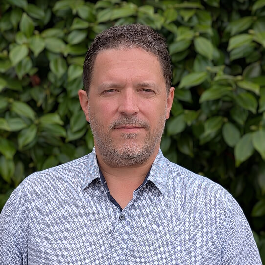
Jamie builds applications and tools that make geospatial data more accessible and actionable. With prior experience at Esri and Leica Geosystems, he has led projects ranging from public-facing maps that improve community safety to dashboards that streamline complex workflows. Skilled in Python, SQL, and ArcGIS Enterprise, Jamie develops automations and integrations that save time, reduce costs, and improve usability. His focus is turning data into clear insights that support better communication and smarter decisions.
Geospatial Systems Developer
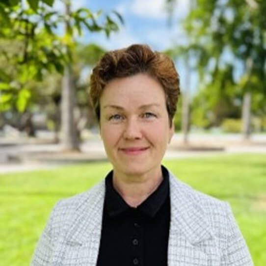
Nelli ensures GIS is fully embedded into the business systems organizations rely on daily, from asset management and permitting to enterprise operations. Her work eliminates silos, reduces costs, and enables real-time data exchange, helping agencies modernize workflows and make confident decisions. Since joining Arini as an intern, Nelli has become a trusted expert in enterprise integration, connecting geospatial data with asset management platforms to improve service delivery and operational efficiency across departments.
Geospatial Integration Analyst
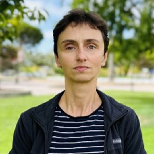
Tatiana applies systems thinking to connect GIS with everyday operations, ensuring data and workflows support organizations as a whole. With expertise in custom workflow creation, automation, and CAD-to-GIS conversion, she develops solutions that modernize infrastructure records, reduce bottlenecks, and make data more actionable. By approaching integration with an enterprise mindset, Tatiana strengthens her clients’ ability to scale GIS as a business-critical platform. Her projects span emergency response, field inventories, and enterprise integration, consistently improving efficiency and safety.
Geospatial Systems Analyst
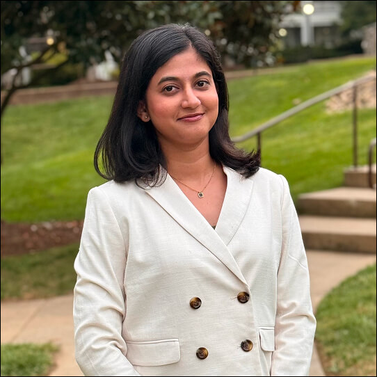
Kasturi combines technical expertise with design insight to create GIS solutions that are functional and user-friendly. With a master’s degree in GIS applications and a background in utility mapping and civil engineering, she translates complex data into tools that improve decision-making and operational efficiency. Her skills include spatial analysis, database management, Python programming, and visualization. Prior to joining Arini, she worked as a Senior Engineer in oil and gas and as a civil engineer in project management consulting, experience that informs her practical, results-oriented approach.
Geospatial Systems Specialist
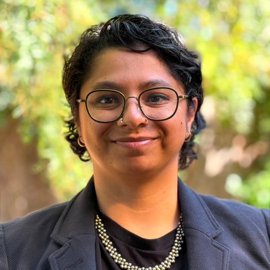
Sayali is a Geospatial Solutions Specialist skilled in spatial analysis, geospatial automation, and building efficient, user-friendly workflows. She holds a Master's in Environmental Planning from UC Berkeley and has worked with diverse government and research teams. Her expertise spans hydrological modeling, Esri Utility Network, and Python. Before joining Arini Geographics, she was a Senior Associate at the World Resources Institute, supporting spatial analysis and planning with public-sector partners.
Geospatial Solutions Specialist
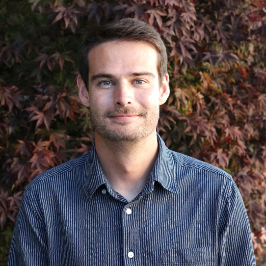
Will combines technical expertise with a drive for translating complex geospatial data into clear, decision-ready value. With a graduate certificate in GIS and a Master’s degree in international development, he aligns geospatial analytics with clients' thematic areas of focus. Will brings technical rigor and policy fluency to every project. His skills include Python automation, spatial analysis, and dashboard development. Before consulting, he produced cartography for the United Nations, grounding his stakeholder-focused, detail-driven approach.
Geospatial Solutions Specialist
Let’s start the conversation.