Arini Geographics weaves GIS intelligence into the heart of leading organizations across the US. With our team at your side, workflows accelerate, productivity increases, and decisions become faster, smarter, and more cost-effective.
Wherever your organization needs to go, our proven geospatial solutions and experienced team will help you get there.
From strategy to implementation and on to training and support, our solutions are designed to help your organization capture and leverage the Power of Place.
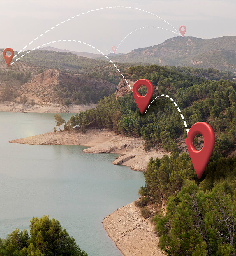
Whether you’re starting or expanding your GIS journey, we’ll make sure you plan and spend wisely.

From enterprise-size companies to local government, GIS technology must connect to, and empower all the right services. That’s one of our core strengths.

To make your data ultra-actionable, we’ll make sure it’s accurate, accessible and transparent.

Do you need to automate and streamline data collection to make your workflow and processes more efficient? Arini Geographics is the right partner at the right time.
The City of Santa Clara turned fragmented data into a citywide asset with Arini Geographics. By consolidating 280+ datasets into one trusted platform, Santa Clara slashed service delays, improved emergency response, and cut costs. Residents now access zoning and property data instantly through MapSantaClara , while city staff save time with self-service GIS tools.
This transformation shows how location intelligence drives faster services, safer neighborhoods, and stronger community trust. And Santa Clara is just one example.

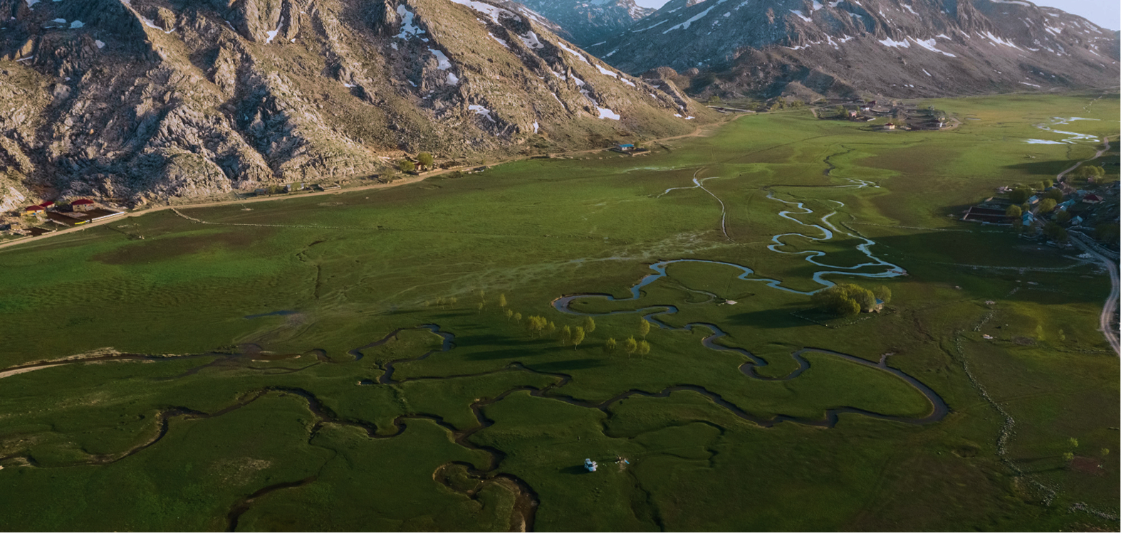
At its core, GIS isn’t about maps or technology. It’s the intelligence - the intuitive and actionable ways it reveals what you need to know, when you need to know it. That’s what we mean when we say we can help you leverage the Power of Place.
As you look ahead, is the path clear? Have you mapped out a direct to your destination? If insight can be defined as the capacity to gain a deeply intuitive understanding of the world - and we think that’s fair - then that is also an accurate way to describe what we can do for your organization.
This is our raison d’etre, our reason for existence. With our help, municipalities provide faster emergency response times, enterprise-size companies make better, faster and more profitable decisions, utilities run more efficiently, and non-profits better-serve their constituents. We can do the same for you.
Arini Geographics has been our sole GIS consultant for more than five years, delivering high-quality work on time and with a deep understanding of our mission. Their team tailored geospatial solutions to our needs, from mapping utilities and wildlife to building dashboards that make decision-making faster and easier. They listen, adapt, and integrate GIS seamlessly into our operations.
Arini Geographics has enabled our team to maintain live and actionable data on our department assets, including a meticulously refined catalog of Santa Clara’s park system, the ability to create and monitor custom work orders, and intuitive parameter mapping. This data has provided a huge reporting advantage to our Division as well as the community we serve.
Let’s start the conversation.